History
The district has been part of Lugano since 2004 and borders Viganello, Pregassona, and Davesco-Soragno.
The number of citizens is very high: 14,000. This phenomenon originates from the numerous naturalizations granted between the end of World War I and the 1940s, when many Italian woodcutters and laborers fled fascism across the border along Monte Boglia.
The first document mentioning the village of Curezia dates back to 1329, listing legal rights in favor of the Bishop of Como. The name reappears in 1454 during the sale of land by the Rusconi family to the Sonvico Community and again in the 15th century when Curezia was required to provide a soldier to the Duke of Milan.
Until the mid-20th century, Cureggia remained very isolated, accessible only by a rocky path climbing the mountain from Pregassona to Brè. The opening of the road in 1956 led to significant development in the district.
Cureggia is the starting point for several trails leading to Alpe Pietrarossa, Alpe Bolla, Monte Boglia, the village of Brè, and the Denti della Vecchia.
The coat of arms

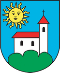
The Armoriale dei Comuni ticinesi by Gastone Cambin, published in 1953 by the Istituto Araldico e Genealogico di Lugano, describes the coat of arms of Cureggia as follows: "Azure, a silver church, windowed sable, roofed gules, founded on three green mounts; in the chief canton, a radiant golden sun."
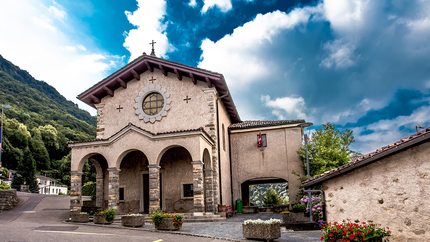
The coat of arms depicts the small church of San Gottardo, mentioned in ancient documents as early as 1561 and rebuilt in 1591.

The English version of this page was created with the aid of automatic translation tools and may contain errors and omissions.
The original version is the page in Italian.